Simulation Software
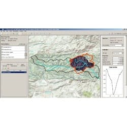
Vflo software simulates runoff from urban catchment to river basin scales. It takes a gridded network approach that combines geospatial information contained in maps of topography, soils, land use and cover, and rainfall, for making predictions of flow rate and depth at any location in a watershed.
